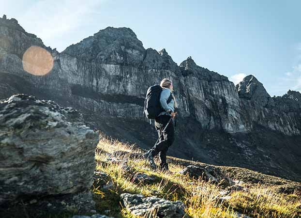
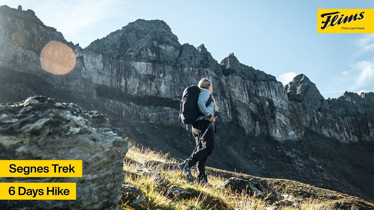
The Segnes Trek is an alpine 6-day long-distance hike with varied stages and nature highlights such as the Segnesböden, Tschingelhörnern and the glacier mills on Alp Mora. The hike starts in Reichenau by the Rhine and leads via the Ringelspitzhütte to Bargis, on to the Segnespass, into Glarnerland to the Martinsmadhütte and back via the Segneshütte to Flims. Lots of mountain air awaits you: 4 out of 5 overnight stays are at over 2000 metres and the highest pass is at 2760 metres. Enjoy the summit panorama on mountains over 3000 meters high such as the Ringelspitz, the Piz Sardona and the Piz Segnas. An alpine hiking experience in the globally unique UNESCO World Heritage Tekonikarena Sardona.

This is a placeholder for third party content, please click to activate.
The external provider might be able to collect user specific data by activating this content. For more information please check out our data protection.

Distance: 11.3 km
Altitude difference: Ascent 1440 m & descent 50 m
Duration: 4 h 45 min
The Segnes Trek starts in Reichenau at 604 metres above sea level. You can reach the starting point comfortably and sustainably by train. The hike already begins with two highlights, firstly the confluence of the Hinterrhein and Vorderrhein rivers and Reichenau Castle. In Tamins village there is a last shopping opportunity before you head up to the Kunkelspass. The "Überuf" mountain inn with its delicious dishes is worth a break at 1358 m above sea level. From here you can already see the day's destination. The Ringelspitzhütte is enthroned on a green hill at over 2000 metres above sea level. Behind it towers the highest mountain (Ringelspitz 3247 m) in the canton of St. Gallen (half St. Gallen, half Bünder peak).

Distance: 13.7 km
Altitude difference: Ascent 841 m & Descent 1289 m
Duration: 5 h 25 min
Info: T4 (500 vertical meters white - blue - white, partly pathless, scree)
The next day begins at sunrise - for the second stage you should plan enough time for a break at the glacier mills above Alp Mora. The trail leads into the wild Lawoitobel and from there over the steep Morgang 500 metres up to the Mutta Sura. At the top, the footbath is only a short distance away. The far-reaching view into Domleschg and Surselva is breathtaking.
The path over Alp Mora down to Bargis remains exciting and requires good physical strength; on the historic Polenweg you will pass the old stone shelters of the sheep herders. The last stretch leads via Alp Lavadignas across alpine pastures and, after crossing a stream, the mountain trail becomes a forest road. On the high plateau of Bargis, you can cool your feet in the stream once again before making yourself comfortable in the Bargis mountain guesthouse.
Distance: 15.3 km
Altitude difference: Ascent 1230 m & descent 157 m
Duration: 6 h 05 min
Info: T4
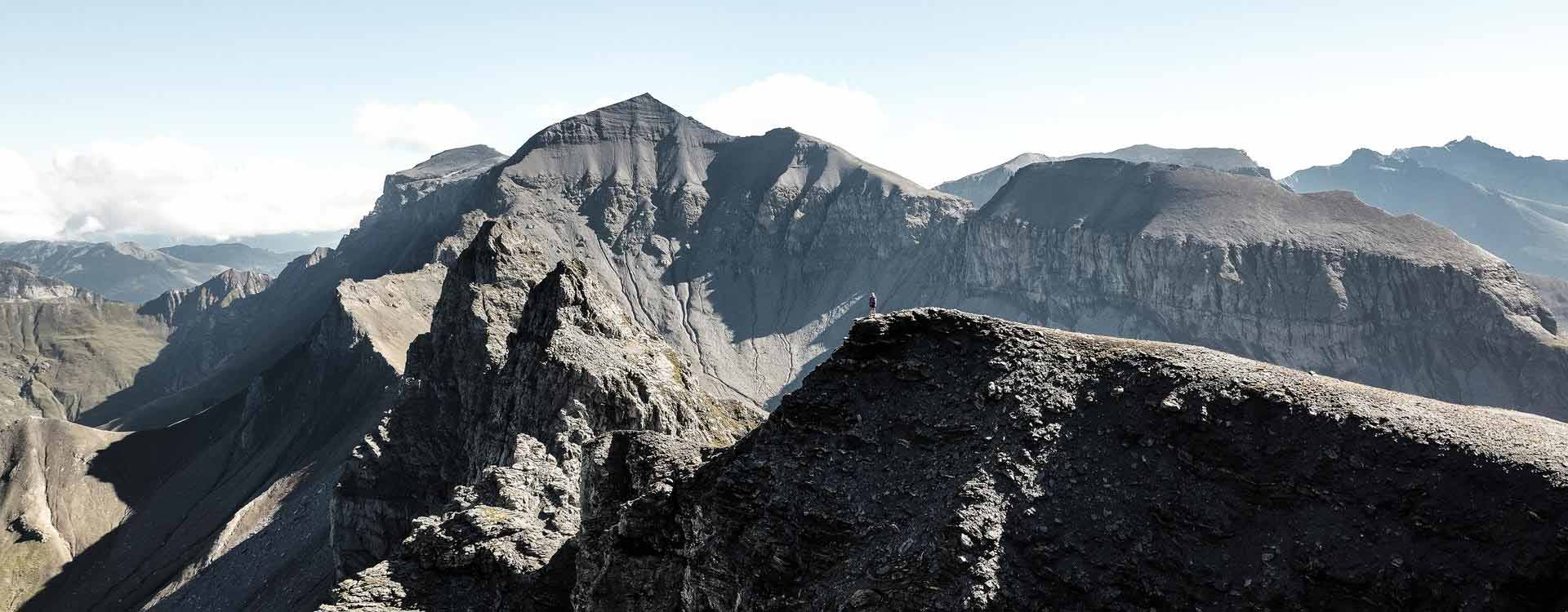
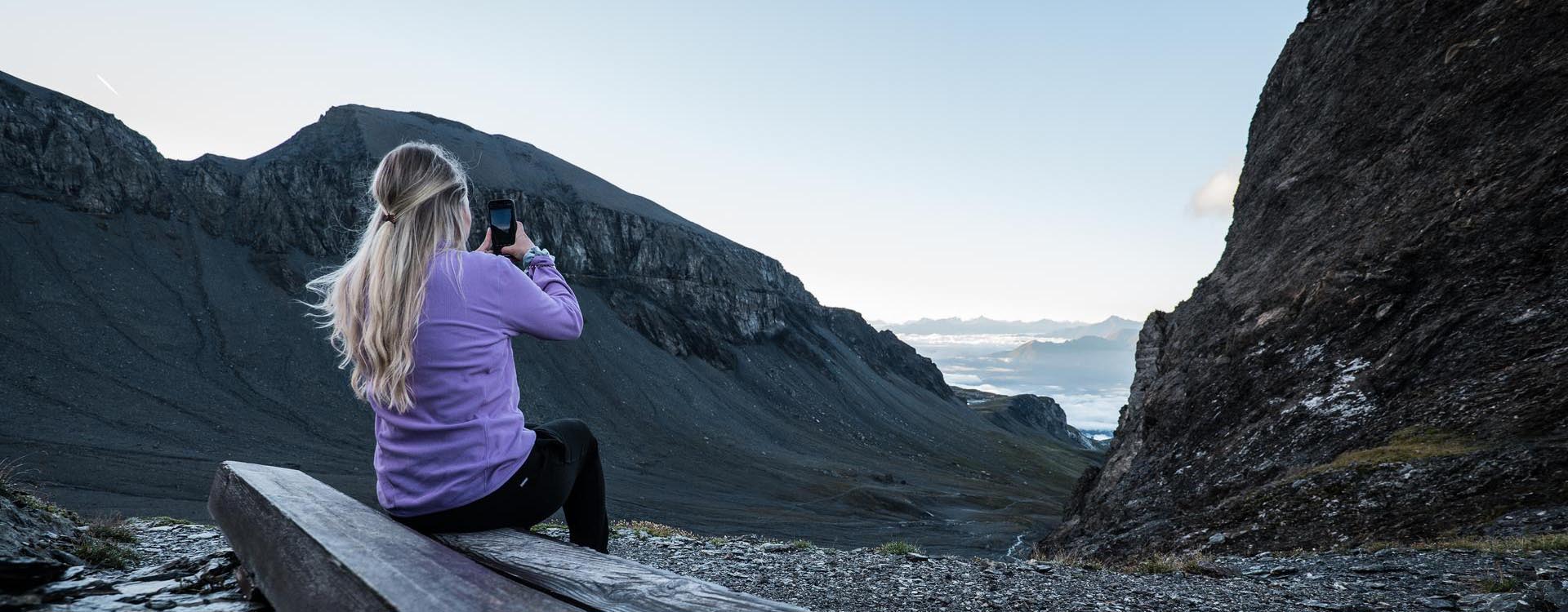
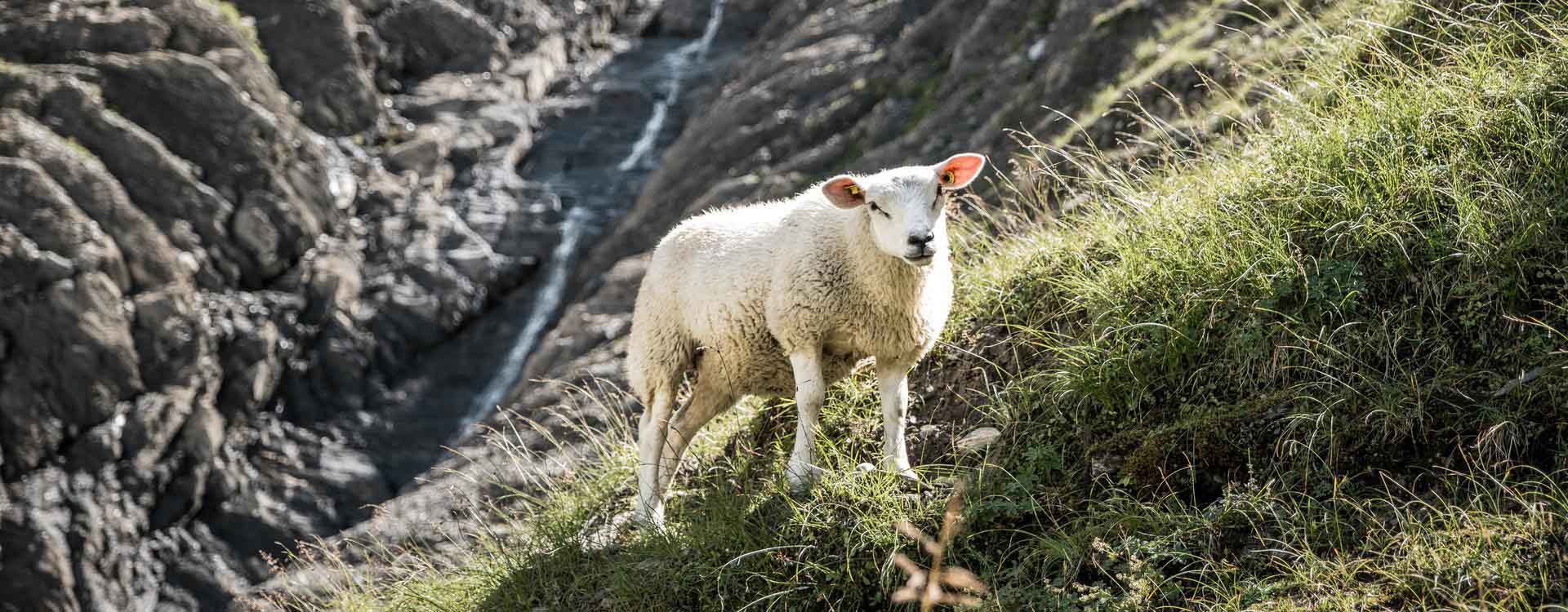
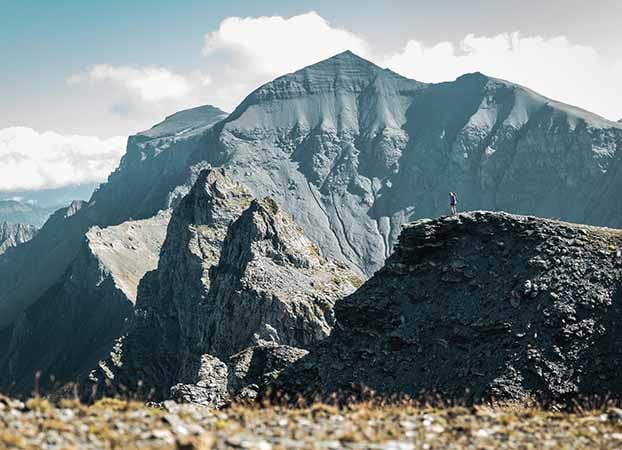
In the morning the stage starts leisurely through the Bargis valley. Have a look at the mountain flanks, maybe you can observe chamois and ibex. But also marmots are some of the inhabitants of the high plateau. The path continuously climbs and leads to La Rusna. There you can do a short visit to the cathedral. A waterfall that is also popular as a place of good energy. Back on the trail, you cross the southern flank of the Trinserhorn towards Fuorcla Raschaglius (2554 m). The barren high-alpine landscape with its 3000-metre peaks is unique. At the top, the upper Segnesboden is at your feet and soon you have a clear view of the Martinsloch and the Tschingelhörner. It is not far to the Segnespass and the last meters of altitude are easily manageable thanks to chains. The Segnespass Mountain Lodge is nestled on the ridge between the Tschingelhörner and the Piz Segnes.
Distance: 6.4 km
Altitude difference: Ascent 525 m & Descent 1152 m
Duration: 3 h 25 min
Info: T3
The shortest stage of the Segnes Trek leads into the Glarnerland. At the beginning the descent is steep, but soon the trail becomes flatter. You have the Tschingelhörner with the Martinsloch in your back, only this time seen from the other side. At Alp Tschinglen at 1482 m there is a small restaurant and some old stables. But also the stream invites you to take a break before you go up the 500 metres to the Martinsmadhütte. This trail is rocky and demanding (T3). The lovingly furnished SAC mountain hut is a little jewel surrounded by an impressive mountain landscape.
Distance: 12 km
Altitude difference: Ascent 815 m & descent 825 m
Duration: 4 h 25 min
Info: T4
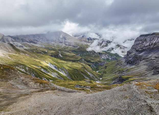
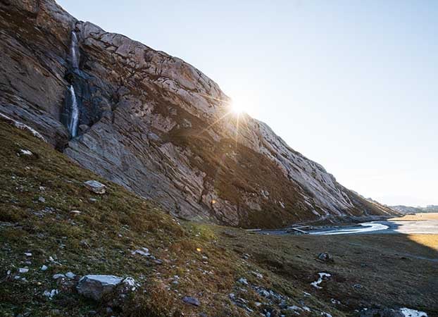
The fifth stage starts in the shade, because the grey cliffs in the south have to be climbed first. Alpine terrain awaits you and the trail is marked blue/white accordingly. Right at the beginning, the path over the Grischsattel is marked blue/white, surefootedness and alpine experience are required. On the Grischsattel you will be rewarded with the first rays of sunshine. If you like, you can climb the Laaxer Stöckli 2899 m or the Ofen 2872 m from here. From the Grischsattel, the trail continues downhill to Grauberg. From here the trail leads away to the left to the lower Segnesboden. On the way to the Segnes hut, you can take a last break at the thundering waterfall.
Distance: 10.6 km
Altitude difference: Ascent 160 m & descent 1050 m
Duration: 3 h 00 min
Info: T2
Next to the Segneshütte you will find the Sardona Visitor Pavilion, where you can discover the uniqueness of the UNESCO-World Natural Heritage Tectonic Arena Sardona.
The last stage leads back to the valley via the award-winning "Trutg dil Flem" hiking trail. Over seven bridges, all in a different design, you descend 1000 metres in altitude. Stay on the trail until you reach Flims. You will be rewarded with a beautiful mountain trail down to the valley.
The huts are usually well booked at the weekends. We therefore recommend booking early and starting the tour on Thursday or Friday.
The hut owner runs the hut with heart and soul. She still cooks on the fire and the smell of freshly baked cakes is typical. The hut offers 36 beds in 4 dormitories.
The Berghaus Bargis is the only accommodation that would also be accessible by public transport. There are two double rooms and one multi-bed room with shower/WC on the floor. Overnight stays are possible on Friday and Saturday.
Learn more Book directly
Simple, newly built mountain hut in a spectacular location with wonderful views. The small private hut offers 2 bedrooms for 6 people each.
The Martinsmadhütte is a jewel. It stands high above the Sernftal valley. Accommodation is in shared rooms, with a total of 40 beds.
Learn more Book directly
Located right in the heart of the UNESCO World Heritage Site Tectonic Arena Sardona on the lower Segnesboden, the Segneshütte is one of the oldest mountain huts in the region, sitting at 2,100 metres above sea level.
Learn more Book directly
This is a placeholder for third party content, please click to activate.
The external provider might be able to collect user specific data by activating this content. For more information please check out our data protection.